Superstition Mountains

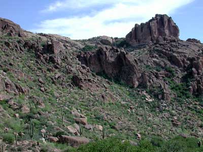
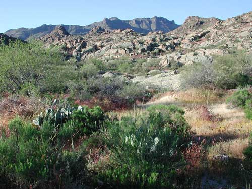
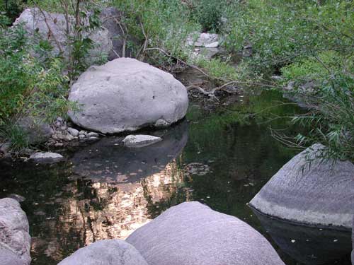
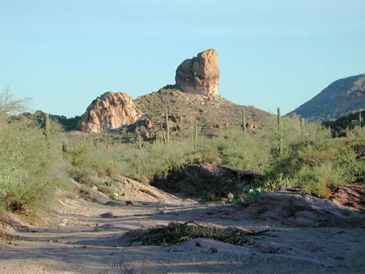
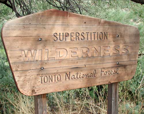
The golden beauty of deserts, mountains, sheer-walled canyons, wildlife, and solitude in the Superstition Wilderness are largely protected within the United States Wilderness System. As urbanization creeps up to the boundary the wisdom of having protected this area will become all the more evident. Recently, however, fires, many man-caused, have burned large areas of this treasure. Nature will do her best to recover, but we must be better stewards.


The trekker symbols indicate some Superstition Wilderness locations described by Sonoran Desert Naturalist. View Superstition Mountains in a larger map

Peralta Canyon

A view from the Peralta Canyon trail along the southern flank of the Superstition Mountains. The dark green trees near bottom edge are Sugar Berry growing in the canyon bottom where water is often flowing, at least below the surface.

Peralta Canyon

Peralta Canyon provides easy access to the incredibly beautiful Superstition Mountains and Wilderness. The turnoff for Peralta is from US 60 about 13 km east of Apache Junction, Pinal Co., Arizona. Even the drive in from the highway (after passing through the housing development!) is spectacular: abrupt, vertical formations of volcanic cliffs, dikes, and necks, remnants of an ancient volcanic field only about 20 million years old rise ahead. The rainbow of color in rocky cliffs of tuff and the lichens growing on the rocks is surrounded by a fairy tale land of desert cacti and succulents. More ...


Sponsored Links

First Water Trail

View from along the First Water trail northeast of Apache Junction in the western portion of the Superstition Wilderness.

First Water Trail

One of the easiest Superstition Wilderness access points to get to from the greater Phoenix, Arizona area is First Water Trail, just north of Apache Junction. From Phoenix drive west on US-60 (Superstition Freeway) and exit at Idaho Road and go north to the junction with Apache Trail. Drive about 5¼ miles northeast then turn right (east) onto the first forest road beyond Lost Dutchman State Park - clearly signed for access to the First Water Trail. More ...


Sponsored Links

Fish Creek Canyon

The Superstition Mountains are not entirely Sonoran Desert. In fact the most widespread vegetation type is chaparral - characterized by a dense shrub layer that is mostly one to two meters tall and that is fire adapted, i.e. it regrows quickly after range fire. At the highest elevations there are patches of pines, piñon/juniper, and oak woodlands. In deep canyons there are shady stretches with perennial water flowing supporting broad-leaved, riparian trees. One example is Fish Creek which flows north and crosses the Apache Trail east of Tortilla Flat. Indeed there are sunfish and sticklebacks in the deep, refreshing pools. More ...

Photo by Mike Plagens

Through much of the year deep pools of water remain in the shady chasms carved by Fish Creek. Numerous aquatic animals - fish, amphibians, and especially insects can be seen. Oct. 2005.


Photo by Mike Plagens

View of Willow Springs Wash and towering cliffs of colorful volcanic rocks that were ejected from the eruptions that formed the Superstition Mountains.

Goldfield Mountains

The Apache Trail, State Route #88, leaves Apache Junction towards the northeast and all the way the traveler is surrounded by rugged and beautiful mountains. On the right, to the east, are the Superstition Mountains proper. On the west side of Apache Trail, before reaching the man-made lakes along the Salt River, are the Goldfield Mountains. This range is composed of rocks very similar to the Superstitions, and indeed are part of the same ancient, volcanic field. The Goldfields were left out of the wilderness system and are vulnerable to destructive activities. An easy hike can be made into the Goldfields from the Superstition overlook view some seven miles north of Apache Junction. More ...


Sonoran Desert Naturalist Home Page

Desert Places

Field Guide


  Google

Copyright Michael J. Plagens, page created 10 July 2009,
updated 20 May 2021.