Arizona Naturalists --> Sonoran Desert Naturalist --> Sonoran Desert Places --> Robbin's Butte
IntroductionThis wildlife area managed by the Arizona Game and Fish Department is 680 hectares (1681 acres) in size and includes several diverse habitats. It is bounded on the north and west by the remnants of the Gila River where there is some open, ponding water with marshy cattails along side. Extensive areas adjacent to the river are broad, almost impenetrable thickets of deciduous tamarisk (a.k.a. salt cedar) variously interspersed with native willows, cottonwoods and mesquites. Back from the tamarisk thickets are areas of occasional inundation - every decade or so the Gila River overflows. Here there are large mesquites, blue palo verdes, athel trees (an evergreen, non-native tamarisk relative) and gray thorn bushes. The ground water is not far below the surface and occasional patches of salt-encrusted soil can be found. |
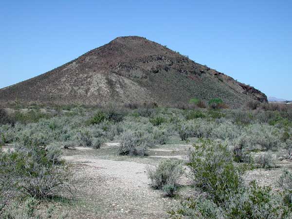
View of Robbins Butte from the south. The gray-green shrubs are Allscale Saltbush. |
Another wide boundary of partly saline or alkaline soil occurs back from areas with larger trees. Here the soil is very fine textured sand and silt with clays and quite deep. Flooding is infrequent and the water table is further yet below the surface. Reaching almost 100% of the shrub cover is Allscale Saltbush. These ashy-green shrubs are about 1½ meters tall. Interspersed with the saltbush are darker green shrubs with fleshy leaves, purple flowers and red berries (in season), Fremont Thornbush. Finally the rest of the area away from the river up to the boundary of Buckeye Hills Park is mostly creosote and white bursage desert with a few ironwoods, wolfberry, foothill palo verde and cacti mixed in. Still the soil is mostly deep encouraging the presence of burrowing animals. |
Area Map on GoogleView Larger Map. The green hikers symbol indicates the location of Robbins Butte WMA. Directions: From the Phoenix area drive west on I-10, then exit south (car symbol) on SR-85. The road into the wildlife area is clearly marked on west side of highway. Take gravel road west towards Robbins Butte. Just south of Robbins Butte is a Maricopa County Park, Buckeye Hills. The blue thumb is location of Powers Butte, part of this wildlife area. The green thumb in lower left indicates location of the Gila Bend Mountains. |
Common BirdsThis list is based on two field trips (Jan 13 & Mar 8, 2008):
|
Sponsored Links |
Black-tailed Gnatcatcher photographed by Robert Shantz. |
|
Reptiles and Amphibians
Sponsored Links |
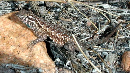
When temperatures are cool side-blotched lizards will emerge and bask in the sunshine. Notice the dark splotch on the flank immediately behind the first pair of legs. |
Shrubs and Trees
Sponsored Links |
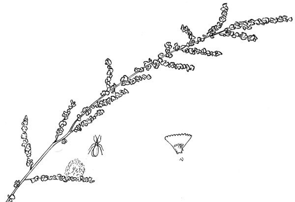
Allscale Saltbush has stiff thorn-like twigs, gray-green folige, and, in season, a great abundance of seed. |
White Flowers
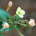
Browneyes |
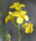
Desert BladderpodYellow Flowers
Orange Flowers
|
Purple Flowers
Blue Flowers
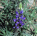
LupineGreen Flowers
|
Sonoran Desert Naturalist Home
Page
Desert Places
Field Guide
Copyright Michael J. Plagens, 1999-2010